

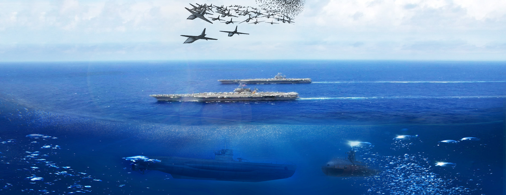

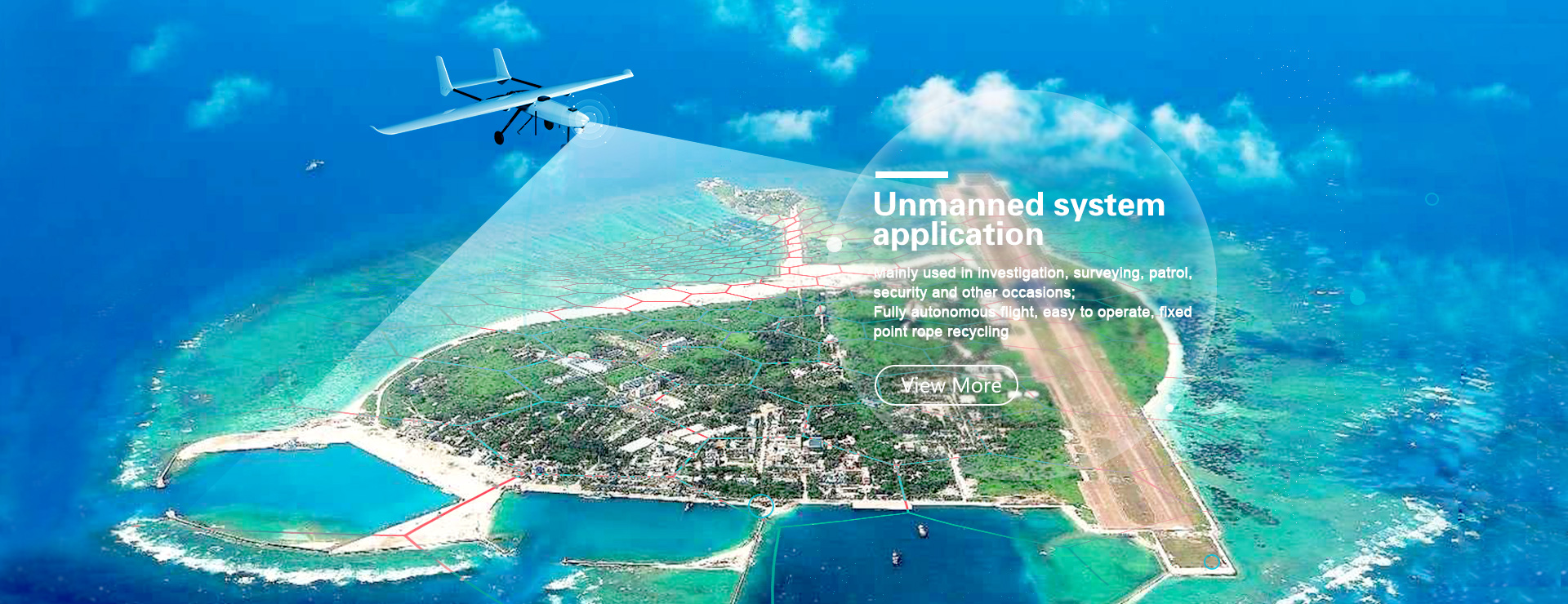
UAV officially launched on the Wuhan Traffic Management Bureau
A drone slowly took off in the courtyard of the Wuhan Municipal Public Security Traffic Management Bureau, and the traffic screen transmitted by the drone was played in real time on the large screen of the traffic control center. After a month of piloting, three drones were officially "served" in the traffic control department.

Zhangye traffic police operating drone survey traffic accident scene City Public Security Bureau Traffic Management Bureau
Lifted for the first time, half an hour to help clear 2 km of congestion
On October 7, the drone first assisted the traffic police to lift the air. On the same day, a traffic accident occurred on Jintan Road near Hongtu Road, which coincided with the last day of the Golden Week. The returning city was dense, and the vehicle was quickly stranded for nearly 2 kilometers.
In the past, such a blockage caused by a traffic accident, the police can only get off at a distance, walk to the scene to deal with the accident, waiting for the tractor to move the vehicle, time and effort, a traffic accident often blocked one or two Hours.
This time, the drone was photographed from the air, and the police grasped the scene according to the images sent back and called the trailer in advance. After 10 minutes, the police and the tractor arrived at the scene. Busy for 20 minutes, Hongtu Road resumed smoothly.

According to the person in charge of the Municipal Traffic Management Bureau, as the traffic volume of the roads in our city continues to increase, the traditional induction coils collect data with certain limitations: when the vehicle violates the prohibited marking, it will trigger the coils of the two lanes at the same time, which will affect the detection data. When the traffic volume is too large and the vehicle is running at low speed, the monitoring data will be missed; when the straight-through vehicle does not drive by the road or the bad car stops on the road, the coil detection accuracy will also be affected.
In order to make up for the shortcomings of the induction coil, the city's public security traffic control department introduced the drone, through the all-round, no dead angle shooting, visually reflecting the traffic flow distribution at the intersection, accurately collecting the flow of the vehicle, further optimizing the traffic timing of the signal light, and improving The efficiency of intersections is evaluated, and the effect of road junction timing optimization is evaluated to ensure safe and smooth roads.
Air duty, optimize the abnormal intersection traffic plan
There are more than 1,600 traffic light junctions in Wuhan City, all equipped with induction coils. Once the data is abnormal, it will alarm. The police passed the video surveillance at the intersection and the surrounding area to determine whether the congestion was caused by unreasonable timing.
A week ago, the police from the Research Department of the Public Security Bureau of the Municipal Public Security Bureau passed the data from the induction coil and found that the data at the intersection of Xingye Road and Zhongyi Road was abnormal. The vehicles from Xingye Road to Jinqiao Avenue (from west to east) often lined up in the morning and evening peak hours. Shangyi Road (Xinye Road Jinhuang Road intersection). Take a look at the nearby monitoring probes and find that there is a long queue of traffic between the east and west peaks of the intersection.
How to accurately collect data, optimize the timing of intersection signal lights, balance the traffic flow at the intersection, and improve the traffic efficiency? The police of the Scientific Research Office used the drone to take the traffic flow of the intersection and the surrounding intersections in the morning and evening for 3 consecutive days, and analyze the comparison. Combine the traffic flow at different intersections of the intersection, adjust the release time in each direction, increase the original 3 time division to 6 time division division, increase the 1 signal light phase, extend the green light signal during peak hours, increase the signal light conversion frequency during the peak period, and reduce the vehicle. Pedestrians optimize the intersection release plan at the intersection of the idle time and other signal lights, and improve the traffic efficiency of the east-west intersection.
After optimization, it was observed again by the drone, and the data showed that the traffic capacity at the intersection was increased by 9%.
Wisdom "Eye of the Sky", 10 minutes to determine the scene of a traffic accident
In the past, the traffic police handled traffic accidents. They were busy with drawing tapes and drawings, and they had to visit the masses to understand the situation. It took at least 20 minutes to survey a traffic accident site. It took a long time to encounter complicated traffic accidents.
Using a drone to survey the scene, it takes only 6 minutes from takeoff to printing the field map. Moreover, the scene of the accident scene taken at high altitude is more intuitive, and the positional relationship between different objects is more clear.
According to reports, the UAV has a two-dimensional and three-dimensional reconstruction analysis function for traffic accidents. It can automatically generate three-dimensional scenes according to traffic accidents, and reproduce the whole process of traffic accidents with three-dimensional images. Reproduction analysis provides complete image data for accident liability identification. The site map produced is more clear and accurate. The entire site survey takes only 10 minutes, and the work efficiency is more than doubled, greatly reducing the impact of accidents on road traffic.